You haven’t got any favourites yet
This is where you can collect inspiration, articles, events and places that interest you.
Click the icon on pages and they’ll appear here.
Your favourites
Events & Tours
Places
Hiking
Nólsoy - Borðan


-
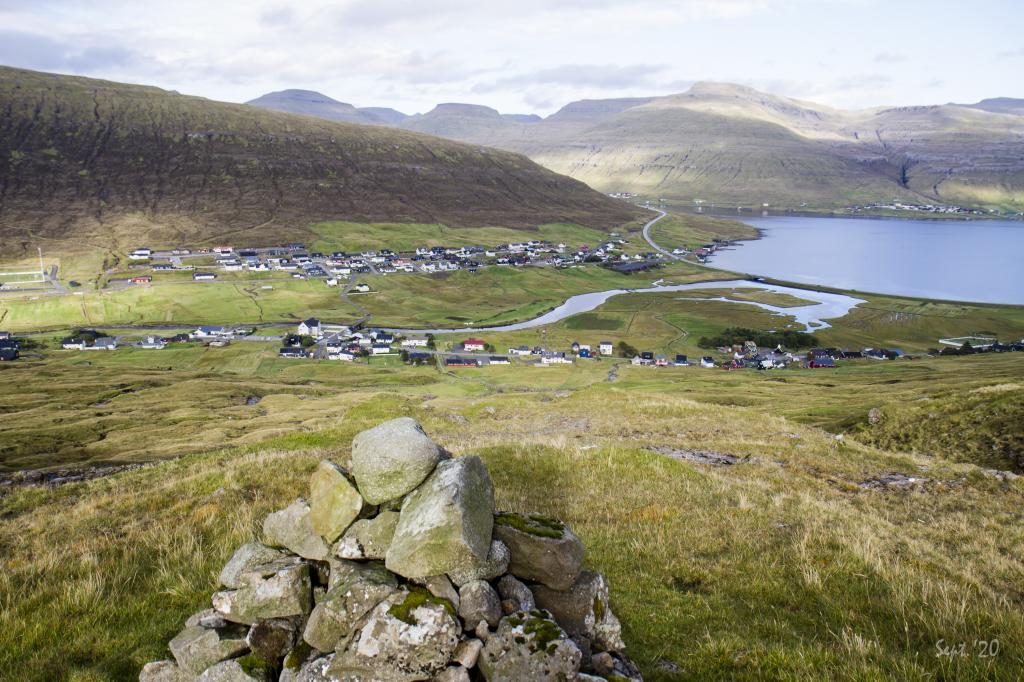
 Up by Kagið, the view is unique. Here we look down over the village of Nólsoy with Eysturoy in the background. Photo: Óli Gardshodn
 -
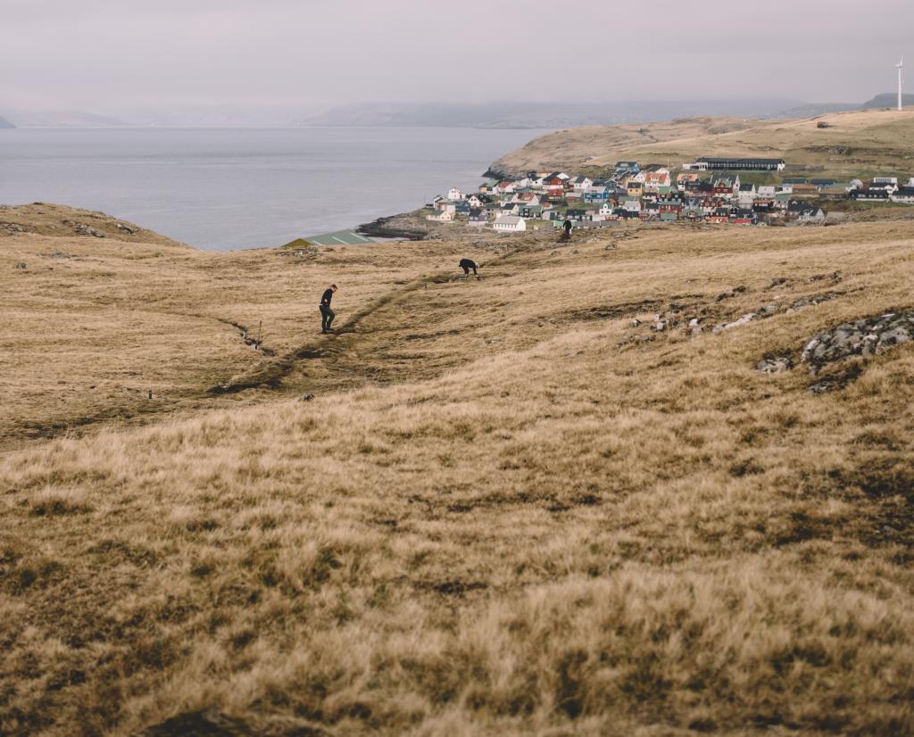
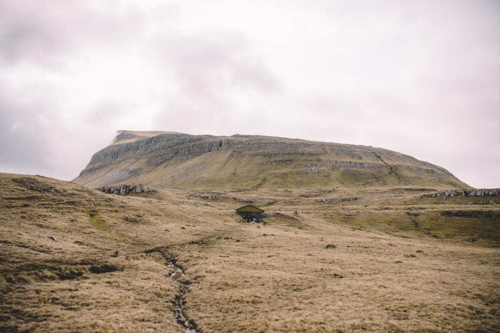 Photo: Klara Johannesen
 -
 Closed for Maintenance team maintaining the route to Borðan. Photo: Klara Johannesen
 -
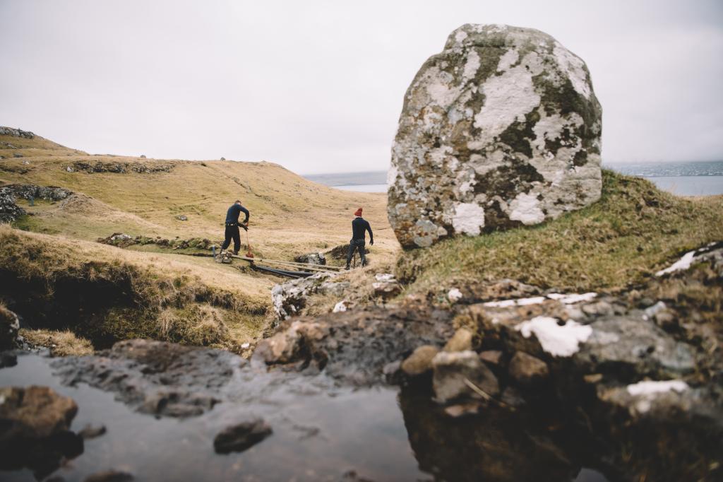 Closed for Maintenance team maintaining the route to Borðan. Photo: Klara Johannesen
 -
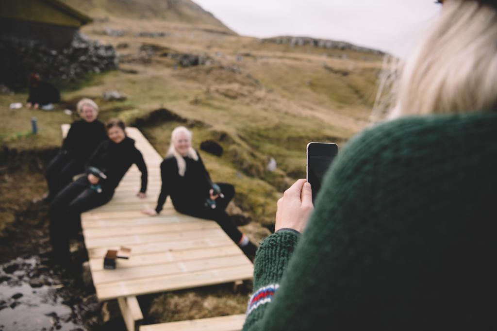 Closed for Maintenance team maintaining the route to Borðan. Photo: Klara Johannesen
 -
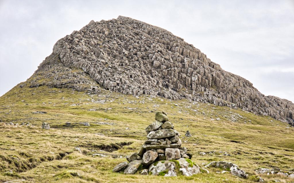
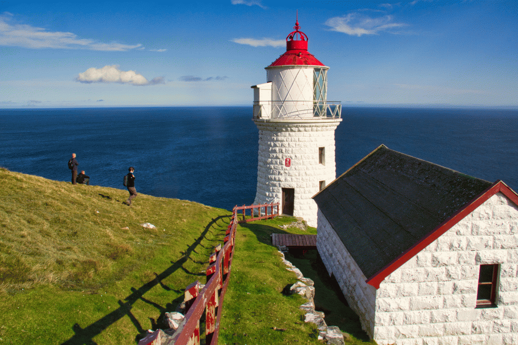 There are two lighthouses out on Borðan. This one on Tumbin, called Nólsoyarviti, is the largest and also one of the most powerful in the world. Photo: Óli Gardshodn
 -
 The residential houses by the larger lighthouse, Nólsoyarviti. Photo: Óli Gardshodn.
 -
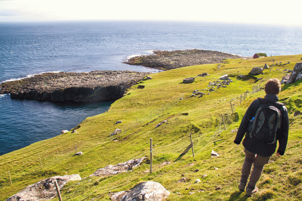 The path from the lighthouse Nólsoyarviti, down to the landing place. The landing site is on the other side of the house, which we see in the background. Photo: Óli Gardshodn
 -
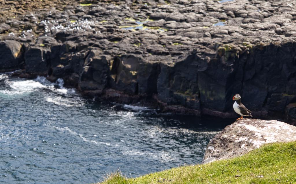 On the way down towards the landing site, you can see a fair number of puffins sitting along the edge down towards the sea. Photo: Óli Gardshodn
Follow the path across the narrow island of Nólsoy to the lighthouse.
The route starts at the path that runs southwards from Nólsoy village. Just inside the outfield fence, you come upon an area, Korndalur, with many ruins from the old days. These are the Prinsessutoftir. Legend tells about a Scottish King’s daughter who had a falling out with her father because he would not acknowledge the man she wanted to marry and whose child she was carrying. They fled, arrived at Nólsoy and settled here.
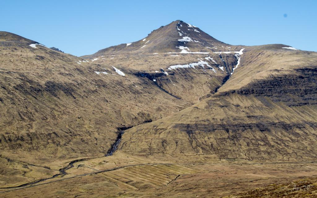
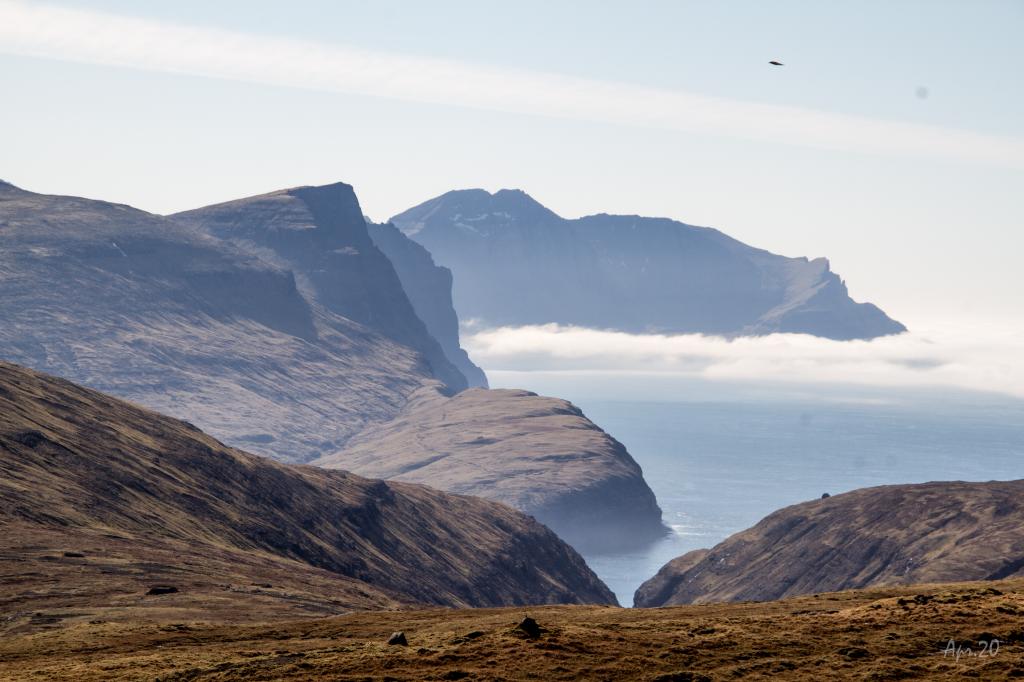
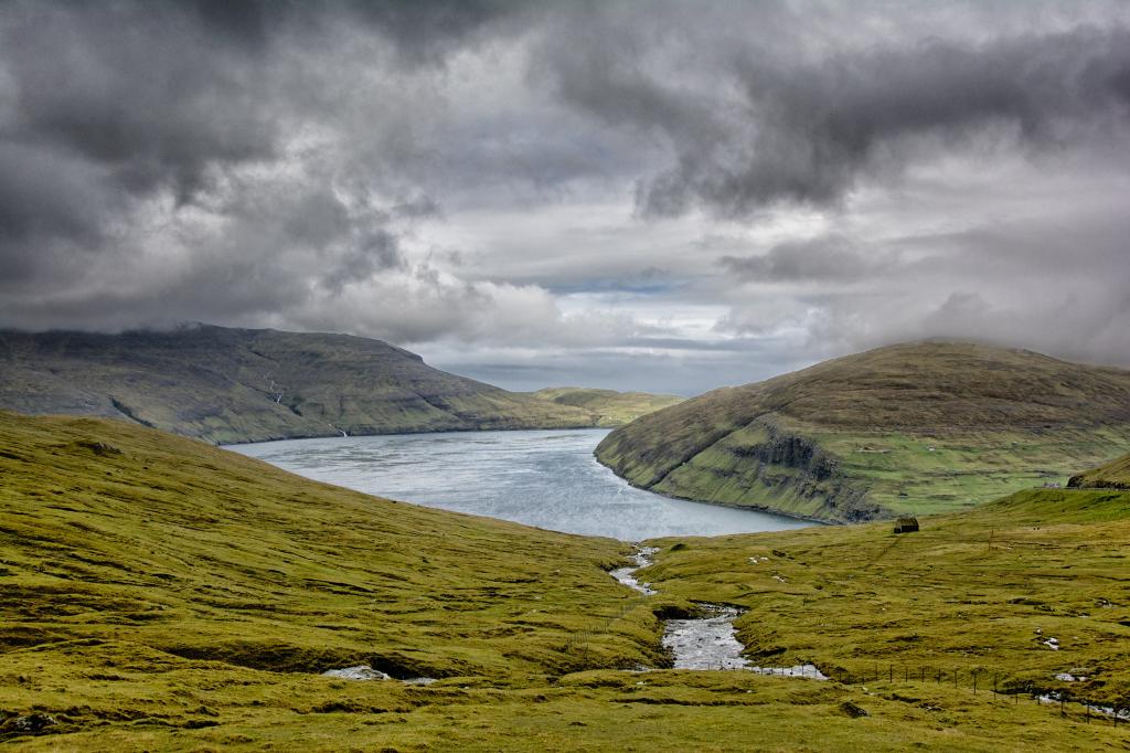
There are traces of the old water pipe just outside the outfield fence. Follow this trail to the old reservoir. Here, the cairns begin and soon you will walk up the slope west of the island. On the hike uphill, there is a site called Uppi í Skipi, where people hid from pirates in the old days. Near the top, you come to Hvíliplássið. It is customary to rest here. The view is outstanding. You can see the northern islands, Skálafjørður, Sundalagið, all of Tórshavn and a little bit of Sandoy. Somewhat further south, at á Kagnum, there is a very good view southwards. The name stems from troubled times when people sneaked out from their hiding places and came to peek southwards to see if the pirates had left.
From the small spring, Kolturskeldan, you see Koltur outlined above Havnardalur.
Then there’s a long stretch, Langabrekka, where you follow the path straight ahead. Here, the terrain can be quite wet in places. There are cairns all the way to the Nólsoy lighthouse, the beacon at Tumbin, but some of them are small and can be difficult to spot. Use the two masts that stick up where the lighthouse stands as landmarks. Just north of the house, the British built two attraps (houses built to mislead the Germans during World War II).
The lighthouse, Nólsoyar Viti, was built in 1893. Back then, the lens was one of the largest in the world of its kind. It is 2.82 metres high and weighs about four tons. Both the lighthouse and the related houses are superior workmanship, stacked from carved rocks.
Nearby, you can see where the rocks were collected. The houses were built for three families. Borðan alternated with Nólsoy village in having the school. No one lives in Borðan now. The silhouette of Kapilin can be seen in front of the beacon. You can also walk down to Stallurin. This is the landing place where everything which was taken to Borðan was unloaded. People from Nólsoy have also shipped peat from Stallurin. The name Stallurin (the stable) stems from the boats being able to lie side by side like horses in a stable.
There is also another lighthouse on the southern tip
in this area, about one and a half kilometre from
Nólsoyar Viti.


Nólsoy - Borðan
Take the ferry on route 90, to get to Nólsoy. See schedule: https://www.ssl.fo/en/timetable/ferry/90-torshavn-nolsoy/
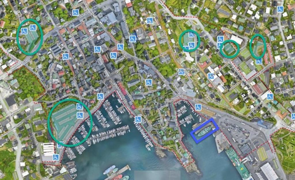
Parking in Tórshavn:
Do not bring your car to Nólsoy.
8-hour parking is available in Tórshavn (see green circles on the map). It is possibl to park outside of the parking zones, with no timelimits (red dotted lines on the map).
The blue square shows the area where the ferry to Nólsoy departs.
Nólsoy - Borðan
Facts

Duration

distance

Peak

Elevation
 Suitable for children, but the hike is long
 Medium
- It is steep and in some places difficult to walk up to Hvíliplássið. But when you come up, there is level ground all the way to Borðan
Medium
- It is steep and in some places difficult to walk up to Hvíliplássið. But when you come up, there is level ground all the way to Borðan
 Grass cairn path, some places stony and rocky.
Region / Trail Difficulty
 Miðal
Miðal
 4.8 km /
1h
35m
4.8 km /
1h
35m