
You haven’t got any favourites yet
This is where you can collect inspiration, articles, events and places that interest you.
Click the icon on pages and they’ll appear here.
Your favourites
Events & Tours
Places
Hiking
Miðvágur - Vatnsoyrar


-
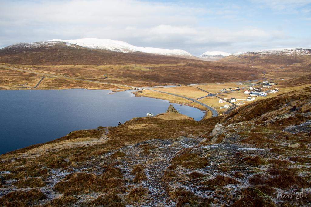
 View of Miðvágur and in the horizon, the island of Koltur
 -
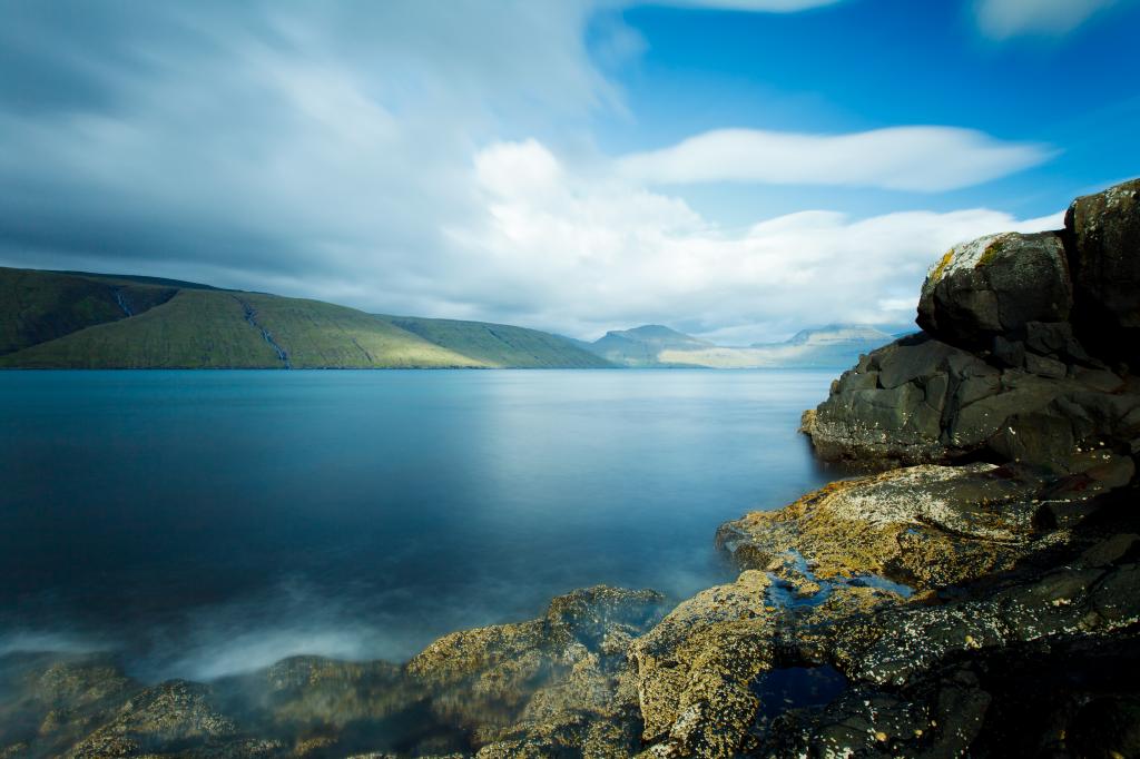
 View of Leitisvatn and Trælanípa
 -
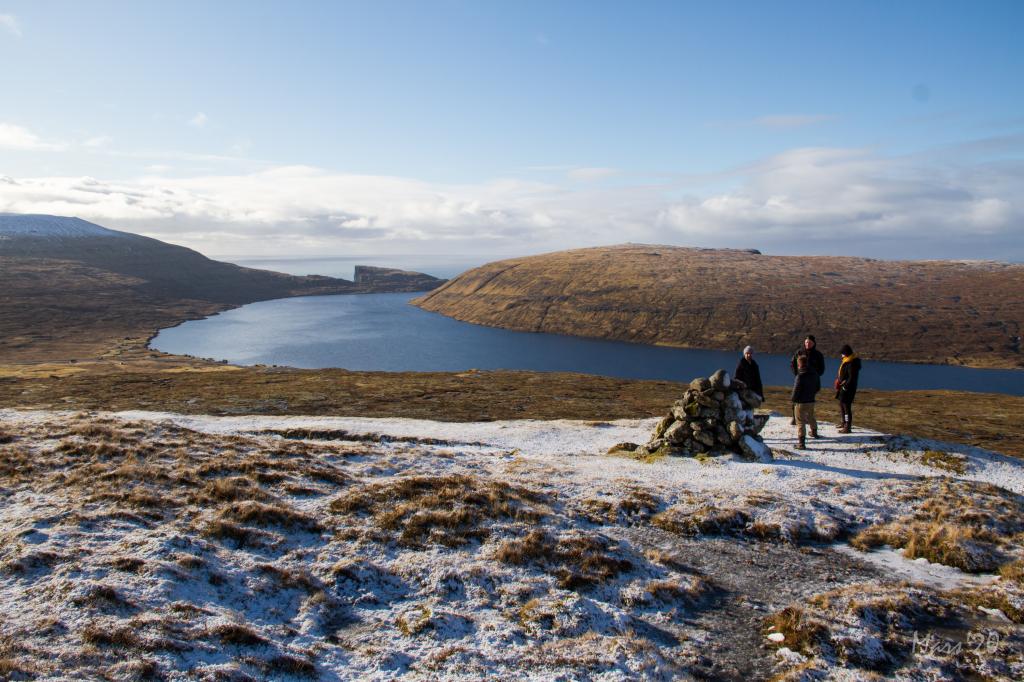 View of Leitisvatn and Trælanípa
 -
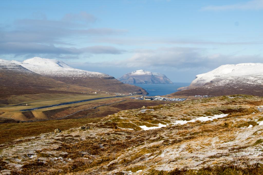 Vagar Airport and in the distance, the island of Mykines
 -
 The little village of Vatnsoyrar
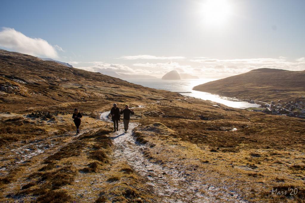
An easy hike with varied views over the airport, the promontory Trælanípan and south to the isle of Hestur
The village path between Miðvágur and Vatnsoyrar is perfect for those who want to go on a beautiful and varied walk, which is easily accessible and not strenuous.
The hike lasts about one hour with views of the isles of Koltur and Hestur, the promontory Trælanípan, the lake known both as Leitisvatn and Sørvágsvatn, the airport and the isle of Mykines.
It is easy to spot the path throughout and cairns lead you all the way. However, it can be difficult to spot where the path starts. If you do not know the area, it is a good idea to start at Vatnsoyrar, since it is easy to find the gate to the outfields, from where the first cairn is clearly visible.
The terrain is grass-covered and good for walking almost the whole way, although it can be a little wet in places. By Vatnsoyrar, there is a bit of loose rocks on the path and in places the path is steep.
The GPX file can be of great help to find your way up through the hill in Miðvágur.


Miðvágur - Vatnsoyrar
Public Transport
Route 300 drives several times a day, stopping in both Miðvágur and Vatnsoyrar. If travelling from the northern part of the country, take route 450 to Kollafjarðadalur and transfer to route 300.
Arriving by car
Park by the green lines, either by the church or up by the water reservoir. There is room for only three cars by the water reservoir. Follow the blue line out through the gate. (the gate is not visible in the photo)

Vatnsoyrar - Miðvágur
Public Transport
Route 300 drives several times a day, stopping in both Miðvágur and Vatnsoyrar.
Arriving by car
Park by the green line by the small quarry at the end of the road at Oyravegur 13. Follow the blue line out through the gate.

Miðvágur - Vatnsoyrar
Vatnsoyrar - Miðvágur
Facts

Duration

distance

Peak

Elevation
 Suitable for kids above approx. 5 years
 Medium
- The path is easy to walk throughout. However, you have to jump between two rocks to reach the path in Miðvágur
Medium
- The path is easy to walk throughout. However, you have to jump between two rocks to reach the path in Miðvágur
 Grass-covered and good for walking throughout, though wet in places. By Vatnsoyrar there is a bit of loose rocks on the path, which is also steep in places
Region / Trail Difficulty
 Miðal
Miðal
 8.6 km /
3h
8.6 km /
3h
